Bamberg: add a growing-and-distributing question to the old-town visit
An old town can be remembered entirely through monumental buildings even when food production is part of its historic urban story. In Bamberg, add a question about growing and distribution to the visit. This changes which map features and interpretation you seek without turning private gardens into visitor attractions or inventing a surviving medieval supply chain.
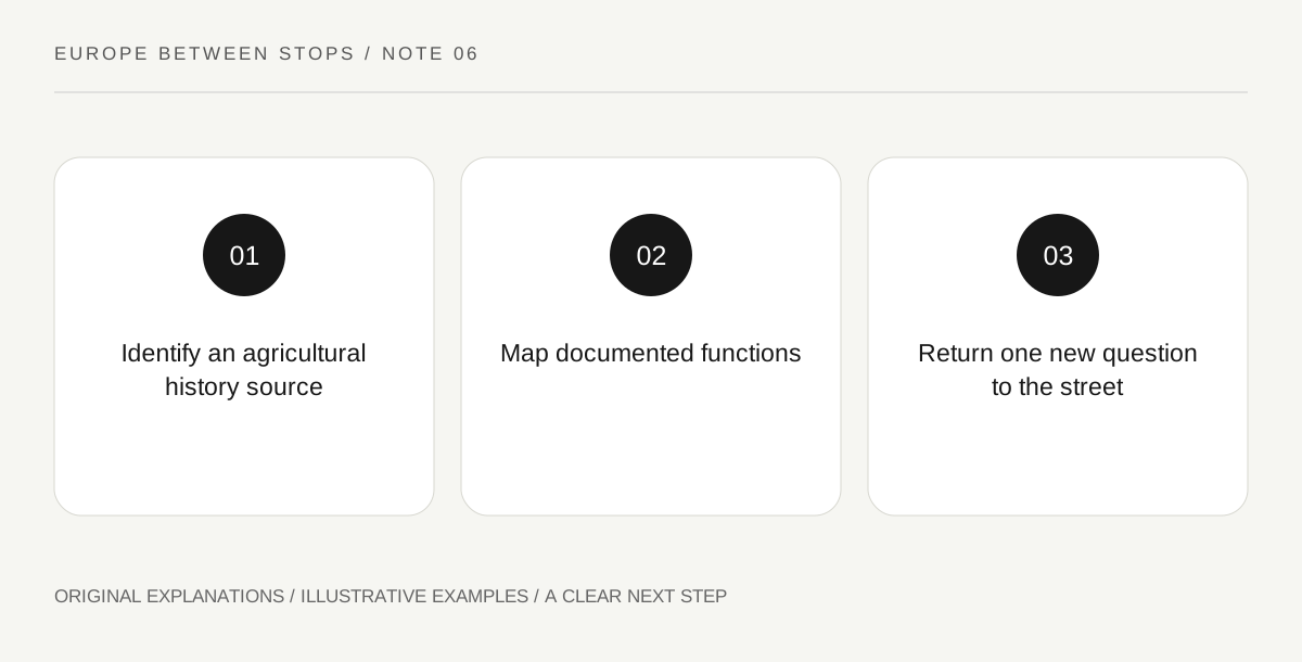
Original explanatory diagram. Read the full method and limitations below.
Look beyond the most obvious monument
UNESCO’s Bamberg account highlights the relationship between agriculture, including market gardens and vineyards, and an urban distribution centre. It also describes a preserved medieval plan with three settlement areas. These points offer a different starting question from simply ranking churches and facades. Before the visit, identify the relevant agricultural history through official local interpretation. The property description establishes a historical relationship; it does not promise that every productive space is visible, open or still used in the same way.
Make a function map rather than a sightseeing list
Draw three boxes labeled growing, exchange and everyday settlement. Add only locations or relationships that appropriate interpretation actually identifies. A box may remain empty until a museum panel or guide provides evidence. The exercise asks what different functions a town needed, not whether you can personally trace produce from one plot to a particular buyer. Keep the map schematic. It should expose the missing link between production and urban life rather than making a decorative map look more authoritative than its underlying information.
Use an interpreted example to test the idea
At a public display or authorized visitor space, select one concrete item that explains agricultural work or urban distribution. Record the kind of evidence: map, tool, written account or surviving layout. Ask which part of your function map it supports. A tool may establish a task without proving where all products were sold. A historical map may identify an area without describing every household. These distinctions let a small piece of evidence deepen the town’s story without being stretched into a complete economic reconstruction.
Bring the question back to the street
As you continue through permitted public areas, notice how your attention changes. You may begin asking about land behind street frontages or relationships between work and residence. Do not peer into domestic gardens or photograph people to complete a hypothesis. Write one supported connection and one question for further reading. The result is an account of Bamberg that includes production alongside representation. It also makes clear that a historic city’s importance can lie in ordinary functions that a conventional monument list barely acknowledges.
Illustrative field notebook
Illustrative notebook: a visitor begins with a church-focused plan, then adds one official interpretation of Bamberg’s agricultural history. A displayed map supports the location of a growing area but does not identify every distribution route. Their final sketch connects two documented functions and leaves exchange details open. No private plot becomes an assumed public stop merely because it fits the historical question.
Questions that come up
Must I visit a working garden to understand this topic?
No. An interpreted map, collection or authorized visitor space may answer the question better while respecting present uses.
Can I infer a market route from the shortest line on a map?
No. A convenient line is a planning idea, not historical evidence. Establish the relationship through appropriate sources before describing it as an actual former route.
References and scope
These sources support the factual background. Examples and exercises are original illustrative teaching material. References do not imply endorsement.
- UNESCO: Town of Bamberg — The historical agriculture–urban distribution relationship and preserved three-area medieval layout; no working-garden access or supply route is claimed.