Český Krumlov: use the river meander as an orientation question
A curving river can make a small town feel surprisingly difficult to hold in one mental picture. In Český Krumlov, compare the map’s river shape with a few identified views from permitted public spaces. The task is to understand the relationship among town, river and castle, without making a riverbank shortcut or a panoramic climb part of the exercise.
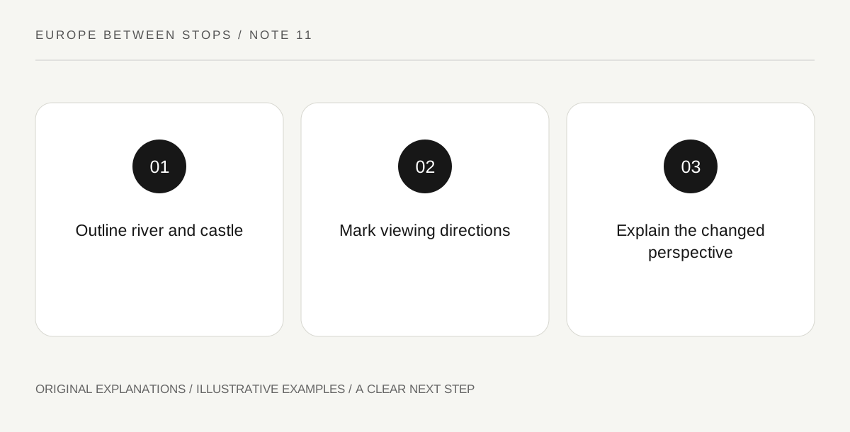
Original explanatory diagram. Read the full method and limitations below.
Start with the source’s spatial explanation
UNESCO’s account links Český Krumlov’s urban composition to the Vltava meander and the rocky slopes of the castle hill. It identifies a town developed below a castle with several architectural phases. Put those relationships on a simple outline map before selecting details. Draw water as a shape, mark the castle area and leave the rest initially sparse. You are building a framework for orientation, not reproducing every street or claiming that a present map reveals the full medieval plan without further interpretation.
Mark the direction of each observation
Choose two or three identifiable public positions that already fit your ordinary visit. At each, draw an arrow on the map showing where you are looking. Add one recognizable feature to the sketch and record whether the water is visible or merely known from the map. This distinction matters: an absent river in a photograph does not mean the viewpoint is unrelated to the meander. It means the frame has hidden part of the spatial explanation that the map can restore.
Compare the map with the impression
Ask whether the castle appears beside, above or across from the town in each view. Those words may change as the viewing direction changes, even though the mapped relationship remains stable. Keep that change as evidence about perspective rather than a contradiction to solve by inventing a route. If the group cannot comfortably reach another authorized position, use an official map or image for the comparison. Understanding the meander does not require tracing its edge continuously, and this exercise supplies no riverside access or terrain advice.
Make a portable orientation sentence
End with a short explanation that would help another reader interpret your map: name the river curve, the castle’s relationship to the town and the direction from which the chosen image was made. Avoid vague instructions such as walk toward the tower, because visible landmarks can change apparent direction around a curve. Keep navigation decisions with current local information. The notebook’s purpose is a lasting spatial understanding, so one carefully annotated view may be more useful than many photographs whose locations you can no longer reconstruct.
Illustrative field notebook
Illustrative map: a visitor marks the river curve and castle area, then adds arrows for two authorized public observations already on the day’s plan. The castle appears on a different side of each image, but the map explains why. Their final caption includes viewing direction. No inferred riverside connection is added simply because it would make the sketch look like a convenient loop.
Questions that come up
Must I follow the whole meander?
No. The exercise compares a mapped relationship with selected observations. A continuous riverside walk is neither required nor established as available.
Does the castle belong to only one architectural period?
The UNESCO account identifies several phases. Keep the spatial exercise separate from any specific architectural dating, which needs its own evidence.
References and scope
These sources support the factual background. Examples and exercises are original illustrative teaching material. References do not imply endorsement.
- UNESCO: Historic Centre of Český Krumlov — The river meander, castle-hill setting and multi-period castle as elements of urban composition; no walking route or access assertion.