Luxembourg: make a vertical sketch before choosing a second viewpoint
Two points that look close on a flat map can tell very different stories in Luxembourg’s old quarters. Begin with a sketch of height and separation instead of immediately joining every visible landmark. This turns the city’s fortified setting into an observation question and keeps the wish to understand a landscape separate from assumptions about how to move through it.
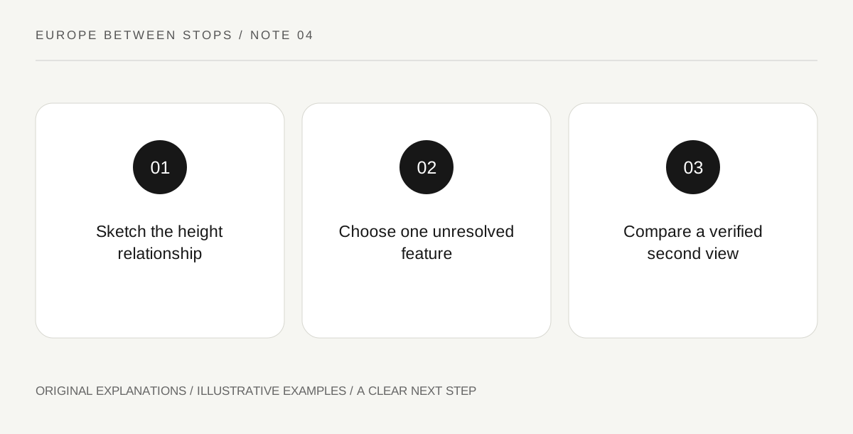
Original explanatory diagram. Read the full method and limitations below.
Read the fortified setting as a relationship
UNESCO identifies Luxembourg’s old quarters and fortifications as a major fortified site repeatedly strengthened by successive powers, with surviving remains after partial dismantling. That history gives a reason to examine how built edges relate to terrain. Use a current map or official interpretation to identify the area you are viewing. Do not assume every wall is the same age or function. A first sketch needs only an upper edge, a lower area and the visible relationship between them.
Draw what a flat pin hides
Stand at an established public viewing position and divide a page into near, middle and far. Place visible buildings or ground edges in those bands, then mark which seem higher or lower. Use uncertain marks where perspective is ambiguous. This is a visual note, not a topographic survey. The drawing helps explain why a map pin cannot tell you the effort, gradient or permitted route between two locations. It also stops a distant opening from becoming an imagined pedestrian connection simply because it appears convenient.
Choose a second view for one reason
If you want another viewpoint, state what it should clarify: the relation of a wall to a slope, the separation of two levels or the shape of an edge. Then check current official access and suitable transport information for that actual place. Do not follow an improvised line toward something seen across a drop or restricted area. A second view is optional. If reaching it does not fit the group or current arrangements, an official diagram may answer the question more effectively than a longer walk.
Compare drawings without inventing a route
On the second drawing or reference image, identify one feature shared with the first. Notice what became visible and what disappeared. The change of view can explain a spatial relationship without proving how an army used it or when it was built. Attach a historical statement only when a source supports it. End with a simple caption describing the shift in perspective. That caption will help you remember the city’s vertical structure more clearly than a list of viewpoint names with no explanation of why each mattered.
Illustrative field notebook
Illustrative study: a visitor sketches a visible upper edge and lower settlement from one public position. A map places two points close together, but the drawing reveals their different levels. They consult an official diagram before deciding whether another authorized viewpoint is worthwhile. The second image answers a question about spatial separation; no unverified shortcut or historical military maneuver enters the notebook.
Questions that come up
Can I judge an accessible route from the view?
No. A visual relationship does not establish gradients, surfaces or access. Use current detailed local information for the actual journey.
Must I identify the date of each wall?
No. Begin with visible spatial relationships. Add dates only from appropriate interpretation and leave uncertain sections clearly unresolved.
References and scope
These sources support the factual background. Examples and exercises are original illustrative teaching material. References do not imply endorsement.
- UNESCO: City of Luxembourg, its Old Quarters and Fortifications — Successive fortification phases and survival after partial dismantling; the sketching method and illustrative planning are original.