Regensburg: study the bridge as a connection between places
A bridge photograph can isolate an impressive object from the places it connects. In Regensburg, keep both ends and the wider river setting in the notebook. The question is how a crossing participates in a trading town’s spatial organization, with present movement and historical interpretation kept separate rather than blended into one timeless scene.
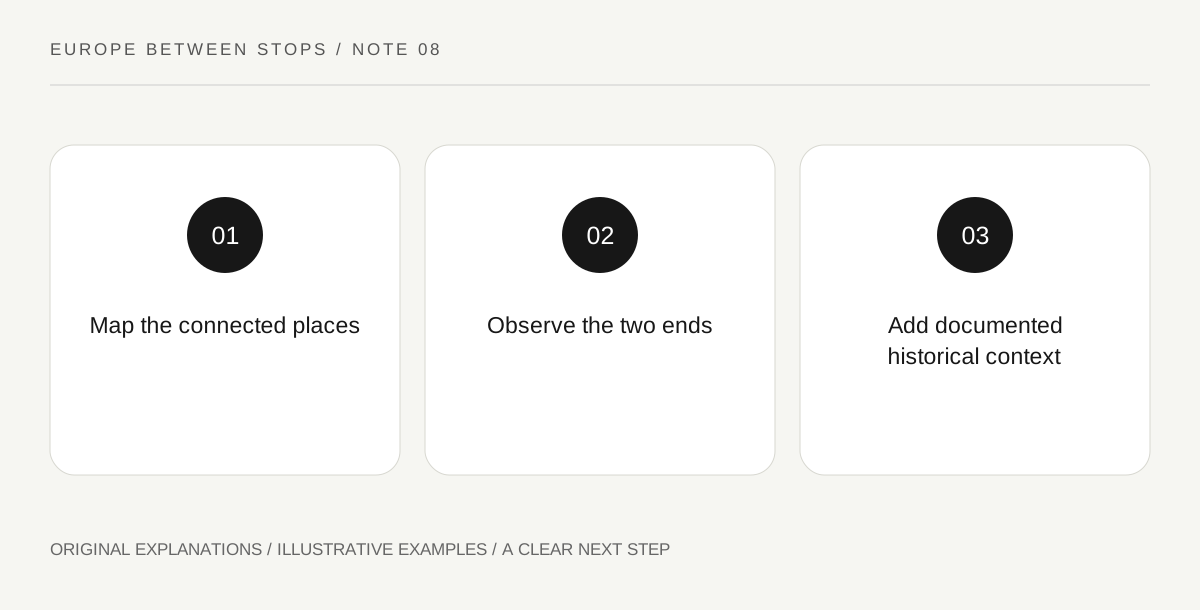
Original explanatory diagram. Read the full method and limitations below.
Locate the ensemble across the river
UNESCO’s Old Town of Regensburg with Stadtamhof includes the historic centre, river islands and an area across the Danube, and identifies the medieval Stone Bridge within a trading-city ensemble. Use an official map to see that the heritage subject extends beyond one bank. Mark the crossing and the named areas without assuming all are covered by one admission arrangement. A property boundary explains cultural scope; it is not a walking instruction or a statement that every place inside it can be entered.
Give each end its own observation
Choose established public positions where stopping is appropriate. At each end, record the relationship between the crossing and nearby streets or open spaces. Does movement disperse in several directions or continue along a strong line? Treat that as an observation about the present layout. Do not block circulation to obtain a symmetrical photograph, and do not follow a restricted riverside edge for a better angle. A small diagram with two ends can explain a connection more clearly than a detailed drawing of arches alone.
Add the historical role through evidence
Look for interpretation that explains the bridge within Regensburg’s commercial and political history. Note which relationship it actually establishes. The surviving crossing may encourage questions about people, goods and authority, but a visible road alignment does not prove the route of a particular shipment. Keep those imagined movements as questions until supported. This approach lets an ordinary street junction become historically interesting without requiring a dramatic invented scene of merchants passing the exact point at an exact moment.
Write the caption from one end to the other
End with a sentence beginning with the named areas connected, rather than with a claim that the bridge is simply beautiful or old. Follow it with a visible detail and a documented historical point. If the two do not establish a direct causal link, leave them side by side. The crossing becomes part of an urban system while retaining the uncertainty appropriate to a short visit. That is the useful shift: the bridge is memorable because you can explain the relationship it creates, not only recognize its silhouette.
Illustrative field notebook
Illustrative diagram: a traveler marks the old-town bank, an island area and Stadtamhof from an official map. Their public-position sketches show how movement meets streets at each end of the crossing. A historical panel supplies the trade context. The resulting caption names the connected places and describes the observed junctions, without inventing a particular medieval cargo route or present access permission.
Questions that come up
Is the bridge the whole heritage property?
No. The UNESCO account describes a wider town-and-river ensemble. A focused bridge visit benefits from understanding that larger setting.
Can today’s movement reveal exactly how the crossing once worked?
It can suggest questions, but present traffic is not proof of past arrangements. Use historical interpretation to establish the earlier role.
References and scope
These sources support the factual background. Examples and exercises are original illustrative teaching material. References do not imply endorsement.
- UNESCO: Old town of Regensburg with Stadtamhof — The trading-city ensemble, its river-spanning components and medieval Stone Bridge; no traffic rule or current access detail is asserted.