Ferrara: distinguish the Renaissance extension from the wider Po Delta property
A long heritage title can conceal two very different scales of travel. In Ferrara, separate a close study of urban planning from an interest in the wider Po Delta cultural landscape. Begin with one question about the city’s Renaissance extension, then decide whether a second landscape question deserves a separate plan instead of treating the title as a ready-made day trip.
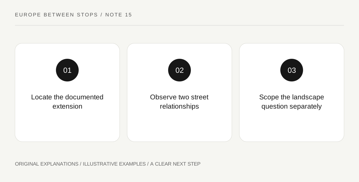
Original explanatory diagram. Read the full method and limitations below.
Give the city study a precise subject
UNESCO’s Ferrara account identifies the Renaissance neighborhoods associated with Biagio Rossetti and new principles of perspective. The property title also includes the Po Delta. These are reasons to examine the official property map carefully, not to assume the whole designation forms one compact visitor zone. For the city study, identify the extension through authoritative interpretation. A modern map can show streets, but it cannot independently tell you which lines belong to a particular historical planning campaign.
Compare two street relationships
Choose a small, permitted public area within the identified urban study and draw two relationships: one along a street and one where streets meet. Record how the visible lines guide attention and where buildings interrupt or reinforce them. Avoid claiming a complete planning theory from a single attractive axis. The observation provides a question to bring back to interpretation. It is especially useful to note what you cannot see from the ground but can recognize in a properly explained historical plan.
Put the wider landscape on a different page
If the Po Delta interests you, start another page with its own question and exact component or place, using official property information. Do not extend the city sketch outward as if a larger map automatically supplies transport, access or a meaningful sequence of stops. A landscape visit may involve different providers and practical arrangements. Ask what evidence would connect the chosen landscape subject to the city’s history. Without that link, the second page risks becoming an unrelated scenic excursion justified only by a shared title.
Decide what the day can explain
End the urban visit with a statement about one observed street relationship and the documented planning context. Keep any wider landscape question clearly marked as a separate project unless you have actually developed it. This is a scope decision, not a test of how much heritage can be collected. A coherent city study can stand on its own. The broader property then remains an invitation to further inquiry rather than a pressure to compress distant places into an itinerary whose relationships you cannot explain.
Illustrative field notebook
Illustrative plan: a visitor identifies the Renaissance extension from official interpretation and compares a street alignment with a junction nearby. A separate page asks about one officially identified Po Delta component, but its transport and interpretive purpose are not yet resolved. The traveler completes the urban study and leaves the landscape page pending rather than adding an assumed quick detour to the same afternoon.
Questions that come up
Does a shared designation imply convenient transport between all components?
No. Cultural scope and practical connectivity are different matters. Check actual locations and current arrangements for any additional visit.
Can one street view prove Rossetti’s whole planning approach?
No. It can illustrate a relationship when paired with reliable interpretation. Broader claims need a broader evidential basis.
References and scope
These sources support the factual background. Examples and exercises are original illustrative teaching material. References do not imply endorsement.
- UNESCO: Ferrara, City of the Renaissance, and its Po Delta — The Renaissance planning context and combined city/Po Delta designation; no route, travel duration or component access promise.