Zamość: test an ideal-city plan against one ordinary corner
The phrase ideal city can make a historic plan sound like a finished diagram with no room for ordinary life. In Zamość, compare the broad organization of the old city with one public corner at ground level. The exercise asks how a planned pattern becomes a place experienced through approaches, thresholds and changing directions rather than only from above.
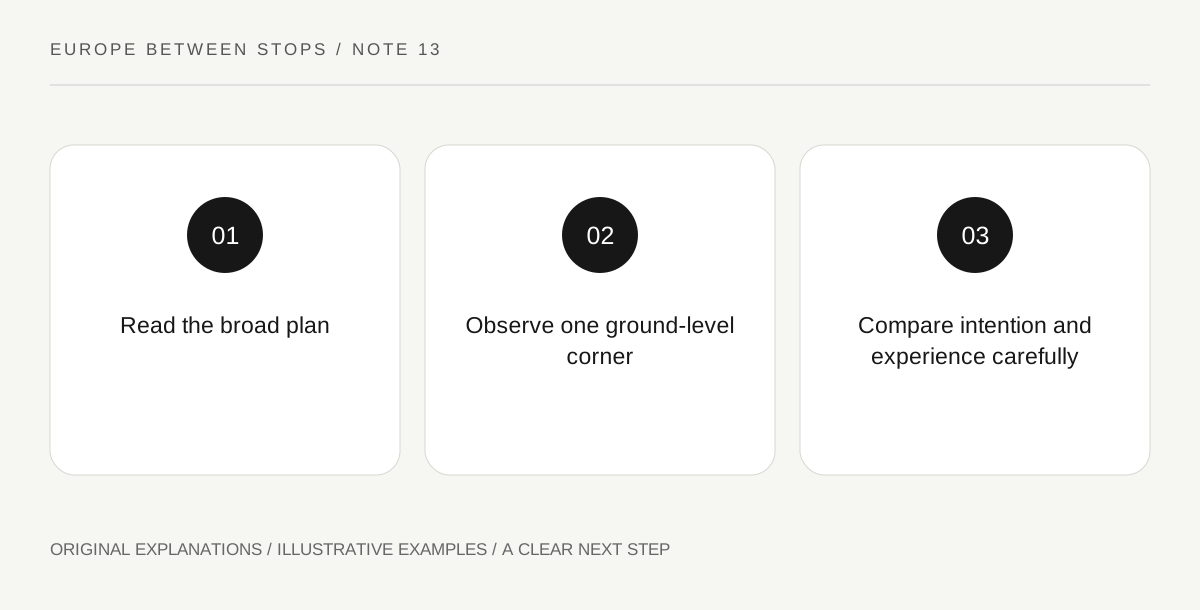
Original explanatory diagram. Read the full method and limitations below.
Read ideal as a historical design concept
UNESCO describes Zamość as a late-sixteenth-century town shaped by Italian ideal-city theories, designed by Bernardo Morando, with a retained layout and fortifications. Use that as historical context, not a claim that every present experience must feel perfectly orderly. Begin with an official plan showing the old city. Mark the major public spaces and their connections only as the plan identifies them. A recognizable design idea does not establish a universal formula for all Renaissance towns or every later change here.
Choose a corner rather than the central postcard
Select a public corner where two directions meet and where stopping is permitted without obstructing others. On a page, draw the approach you used and the directions visible from that point. Record what becomes apparent only as you move around the corner: a space opening, an entrance coming into view or a building line continuing. These are experiential observations. They do not prove what the architect intended at that exact location, but they help translate an abstract plan into a specific encounter.
Compare the small view with the large pattern
Return to the official plan and locate the corner. Ask which part of the plan you could understand from the ground and which remained invisible. A broad connection may be obvious on paper but visually interrupted at street level. Conversely, an entrance may matter greatly during a visit while barely appearing on a small map. Record both. This comparison prevents the plan from becoming a substitute for observation and prevents one corner from being used as evidence about every part of the city.
Write a qualified design explanation
Finish with one supported historical statement about the town’s planned organization and one personal observation clearly labeled as such. Avoid claiming a hidden mathematical rule from an approximate sketch. If a proportion interests you, note what measured or scholarly evidence would be needed to investigate it. The value of the visit lies in connecting plan and experience while respecting their different scales. You leave with a concrete example of how a design concept can shape inquiry without requiring a visitor to recognize an ideal in every doorway.
Illustrative field notebook
Illustrative study: a traveler reads an official plan, marks a central connection and chooses an ordinary public corner along it. From the ground, one adjoining space appears only after the turn. Their final note pairs the documented planned layout with that observed change of view. It does not convert the sketch into proof of a secret ratio or an architect’s unrecorded intention.
Questions that come up
Does ideal city mean the present town is socially perfect?
No. Here it identifies a historical design concept. It should not be expanded into a claim about every aspect of past or present life.
Can I calculate original design proportions from a tourist map?
A small visitor map is not a measured architectural record. Treat apparent ratios as questions requiring better evidence, not established findings.
References and scope
These sources support the factual background. Examples and exercises are original illustrative teaching material. References do not imply endorsement.
- UNESCO: Old City of Zamość — The planned Renaissance town, Morando association and retained layout/fortifications; no mathematical proportion or individual design intention is inferred.